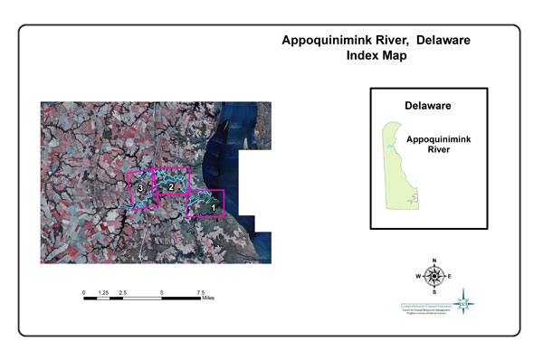
View "Riparian Land Use", "Bank and Marsh Conditions", "Shoreline Features", or "Natural Buffers" for the area of interest by clicking on the corresponding plate. See the index map above for plate boundaries.
Riparian Land Use
Bank and Marsh Conditions
Shoreline Features
Natural Buffers
1a
1b
1c
1d
2a
2b
2c
2d
3a
3b
3c
3d