|
Mathews Maritime
Heritage Trail: Mathews County, Virginia - East River Guide
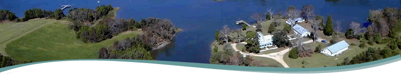
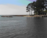
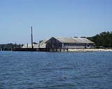
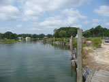
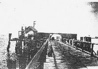 The East River Trail in Mathews, Virginia, provides the opportunity to view historic wharf sites, tidal mills, gracious homes and estates, and miles of protected coves, marshes and tributaries, ideal for viewing wildlife. The River is about ½ mile wide at its mouth, and gradually narrows as one travels north. The lower portion of the River is wide and open to the south and the prevailing southwesterly breezes. Wave action can be substantial if it's blowing hard. The upper river is somewhat protected by the neck of land where Williams Wharf Landing is located, but depending on wind direction can still be exposed. The main stem of the river is about 5 miles in length. Put In Creek is approximately 1 ½ miles long. The East River Trail in Mathews, Virginia, provides the opportunity to view historic wharf sites, tidal mills, gracious homes and estates, and miles of protected coves, marshes and tributaries, ideal for viewing wildlife. The River is about ½ mile wide at its mouth, and gradually narrows as one travels north. The lower portion of the River is wide and open to the south and the prevailing southwesterly breezes. Wave action can be substantial if it's blowing hard. The upper river is somewhat protected by the neck of land where Williams Wharf Landing is located, but depending on wind direction can still be exposed. The main stem of the river is about 5 miles in length. Put In Creek is approximately 1 ½ miles long.
Click on the map below, then use navigations tools to move and zoom; click on icons for information on points of interest.
|
|